Trails and On-Street Bikeways Network
Many cities and counties in the region have developed and adopted bicycle master plans, trail master plans, or a combination of both. Various communities are also developing plans for local pedestrian networks and programs to provide safe routes to schools. Numerous cities and transportation agencies have adopted local policies for bicycle accommodations to encourage bicycling as a form of transportation. The number of locally adopted community bicycle and trail master plans in the region grows each year. These documents were used in the development of Mobility 2045 to ensure regional connectivity and continuity.
The active transportation network in the region consists of 7,303 miles of regional shared-use paths (Regional Veloweb), supporting community shared-use paths, and the on-street bikeway network (including on-street wide shoulders in rural areas) in various stages of development. This network plays a key role in supporting Mobility 2045 and the implementation of the multimodal Complete Streets and transit infrastructure that assist in safely accommodating all travelers throughout the region. Local trails make up 775 miles of this network, with many more planned.
Combined Network Map
Combined Network Miles by Facility Status
Demographic Statistics [PDF]
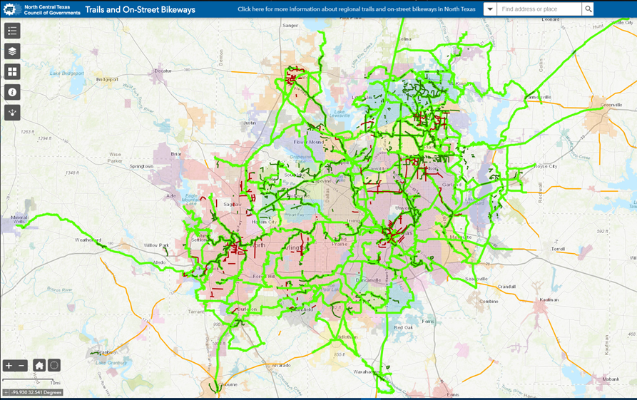
Interactive Map of Trails and On-Street Bikeways
The interactive map below displays existing, funded and planned trails and bikeways in the 12-county Metropolitan Planning Area adopted as part of Mobility 2045.
(Chrome or Firefox browsers are recommended for viewing this map.)
Staff: Julie Anderson