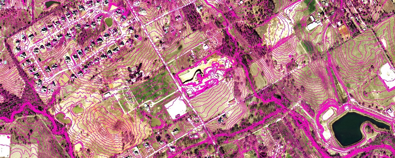
Digital Elevation Contours
NCTCOG Multiyear Contours
 NCTCOG developed a layer of digital elevation contours by bringing together data from a variety of sources. This unique layer covers most of the NCTCOG region. The 2' cartographic-quality contours represent the most recent data available for a given area. The data are available for free viewing or on-line mapping or can be downloaded by tile for a nominal (cost-recovery) fee.
DFWMaps – free viewing and on-line mapping
DFWMaps Marketplace – data purchase and download for use in your system
Metadata
Creation Process
Interactive Map - view coverage by source and year