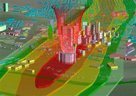
Tornado Damage Risk Assessment
 The series of tornadoes which struck the Oklahoma City area on May 3, 1999 were some of the most expensive tornadoes in U.S. history, causing over 1 billion dollars in damage and destroying over 2500 structures. With such a large impact, other urban areas in tornado alley were forced to wonder about their own susceptibility and preparation. The Dallas-Fort Worth Metroplex was one such area. With over five million people, 1 million houses, and 60 thousand commercial structures in the year 2000, understanding the potential risks is valuable, indeed.
As part of the Spring 2000 severe weather planning season, The North Central Texas Council of Governments in cooperation with the National Weather Service in Fort Worth conducted a Tornado Damage Risk Assessment. The project estimated the potential impact of a major tornado outbreak to the Dallas-Fort Worth Metroplex. Tornado damage paths from the May 3, 1999 Great Plains Tornado outbreak in Oklahoma were transposed across the Metroplex and a statistical profile of each impacted area was generated.
Six main scenarios were tested in which 53 of the damage paths are placed atop Metroplex geographical data, and centered as a group in six different locations. Additionally, 50 paths of the Moore tornado -- the costliest tornado in U.S. history at that time-- were mapped side by side in 2.5 mile increments across the core of the Metroplex. Modern computer technology (GIS) was used to estimate structures, property, residents, employees, and traffic that would be in the path -- better defining the magnitude that the tasks of warning, rescue, and recovery would entail. By identifying such demographics and development, a general assessment of this region's susceptibility to a big tornado outbreak can be made.
Assessment Documents:
Presentations and Appearances: Discovery Channel, History Channel, National Geographic Channel, Weather Channel, New York Times, American Society of Civil Engineers, WFAA Television, NBC5 DFW, CBS 11 Dallas-Fort Worth, Texas Severe Storms Association, American Meteorological Society, Federal Emergency Management Agency, Environmental Protection Agency, ESRI